Although a comprehensive Israeli-Palestinian agreement is not imminent, we can:
Why the conflict is complicated
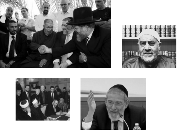
To understand the conflict, is to understand its people, perspectives, issues — and the role religion plays in mediating a solution.
Understand their worldviews
Beyond the issues, it’s people and their worldviews at the center of a complicated conflict.
Learn about the worldviews that drive the Israeli-Palestinian conflict and consider what solutions might be possible.
Examine Religious Peacebuilding
Religious leaders are just as vital as politicians in leading change in the Middle East.